Once you’ve fallen in love with the ocean, there’s no chance of divorce, or separation even. The magnetic attraction remains, fluctuating in its intensity maybe, but constantly present.
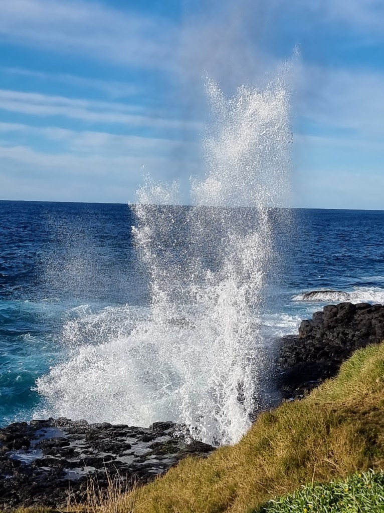
With the news that a significant swell was running, stood up by offshore breezes, I had to go and have a look. Kiama, after all, is famous for its blowhole. However, there are other places more dramatic and mind blowing. The Little Blowhole, situated a couple of headlands further south, may have lesser volume but spews much higher while Bombo Rocks to the north is epic on so many levels.
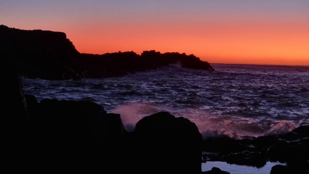
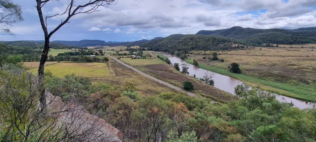
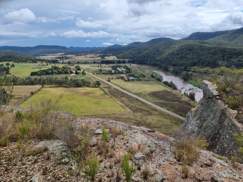
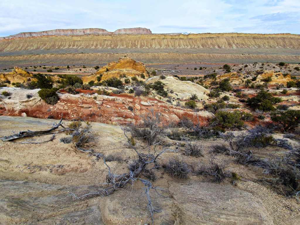
I’m staying in a house sit that looks over the ocean, although it’s a few kilometres away. The view is stunning, across the rolling hills and rooftops to the heaving ocean beyond. The downside is that it gets the wind….all of it. Just two days previous they had a gust in excess of 110 k.p.h. in this small retirement enclave where the interest in velocity is such that three of the houses have wind speed devices. Right now it’s early morn, the sun has yet to rise and there’s a ruddy glow across the horizon that sits above a distant line of clouds.
Knowing where I’m mainly headed makes the choice to leave later, rather than sooner, a definitive one as the light will favour photography in the afternoon. Looking out from the glassed-in balcony you see the lines of swell wrapping around some point or other, partly vomiting skywards as the jagged rocks halt its progress momentarily.
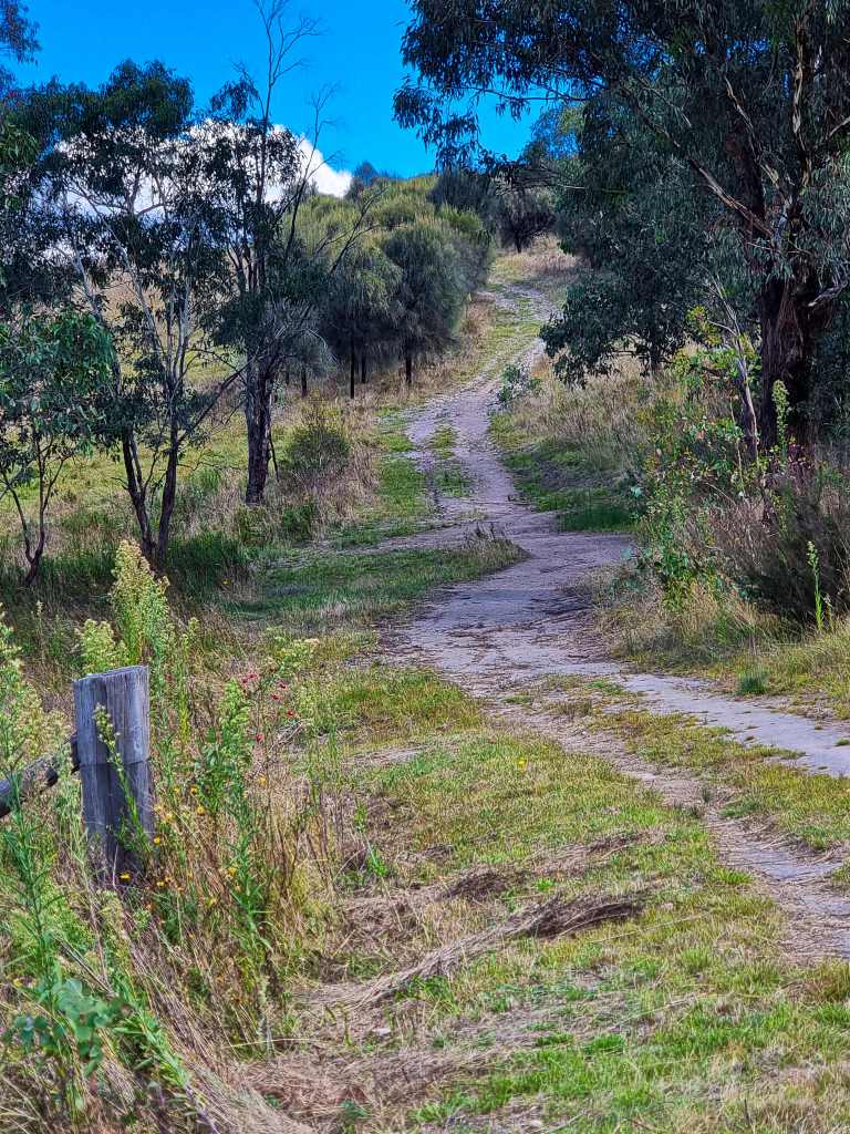
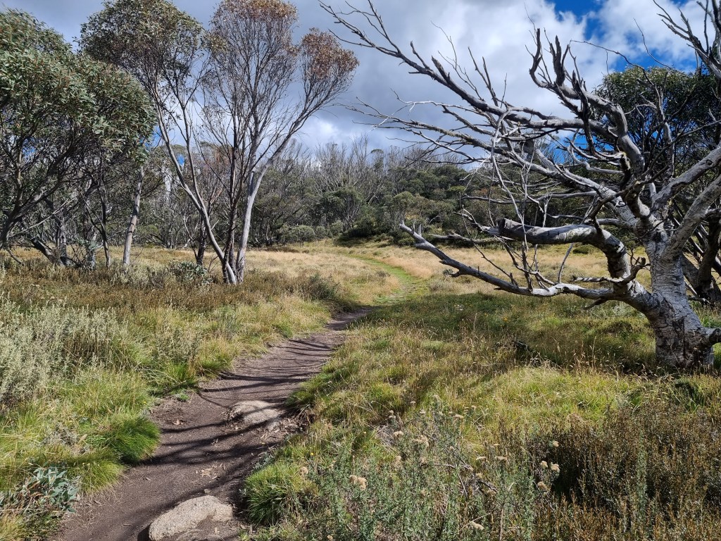
Having to take the dog for a walk makes the decision to not drive down there immediately a little easier. I find a recently slashed paddock nearby with a pair of significant fig trees on the edge to distract me but the swell breaking beyond the branches remains a magnet.

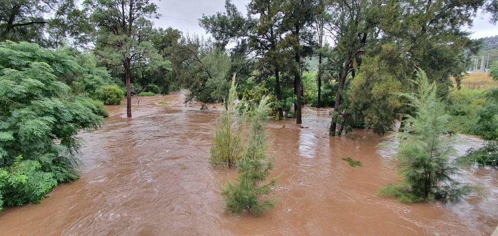
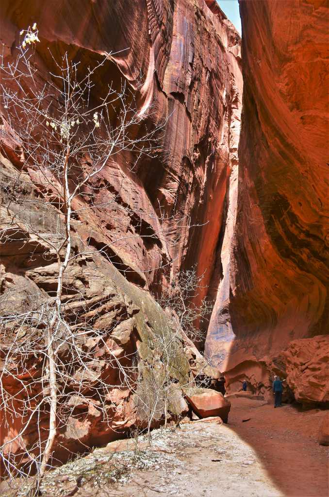
It’s early afternoon when I head east and, just before the blowhole, there’s a tiny beach at the end of Storm Bay that the waves funnel up to but they smash themselves over all manner of rock shapes before they get there so I find a spot on the rugged outline and spend half an hour in solitude photographing the varying ways the foam goes before joining the regular tourists at the blowhole for a minute or two. It’s blowing, and one of the better days to see the phenomenon and listen to the oohs and aahs as the ocean vomits from the caves beneath, heralding its coming by a significant kerwhoomph beforehand that momentarily precedes the cries of the tourists.

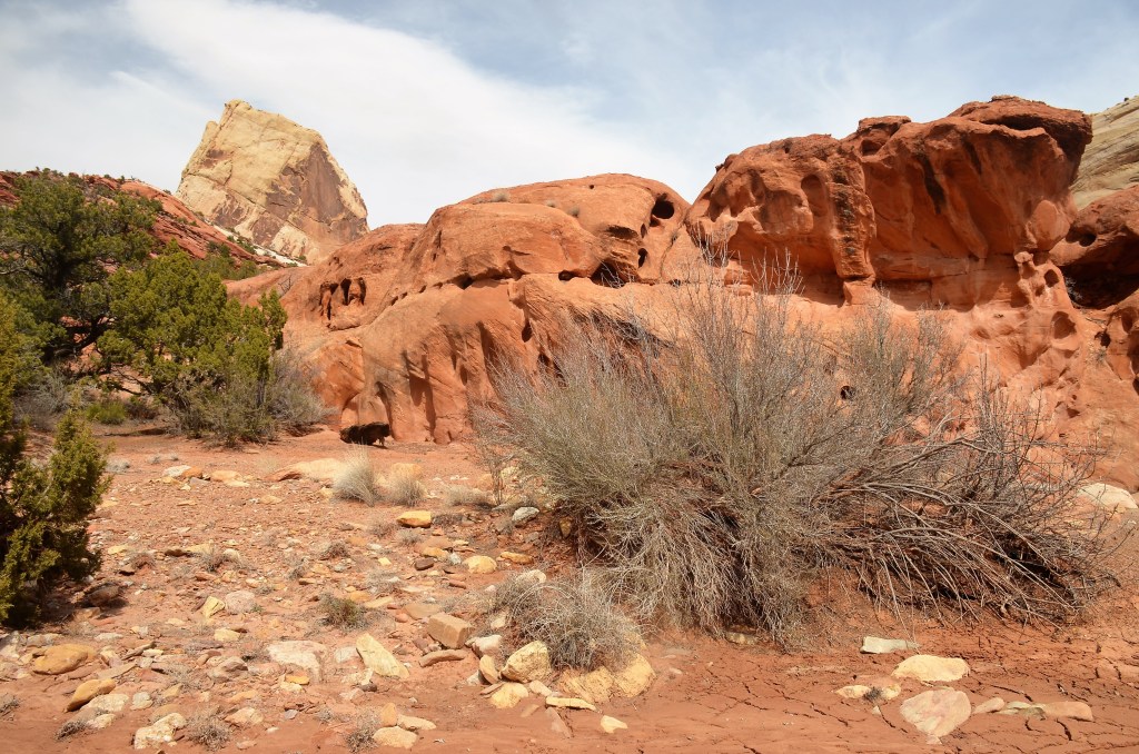
However, it’s Bombo Rocks that I’m drawn to as I slide into the front seat of the car and proceed northwards to the relevant carpark at the north end of Bombo Beach where the lines of swell are indicative that it will be a good day to view the area.

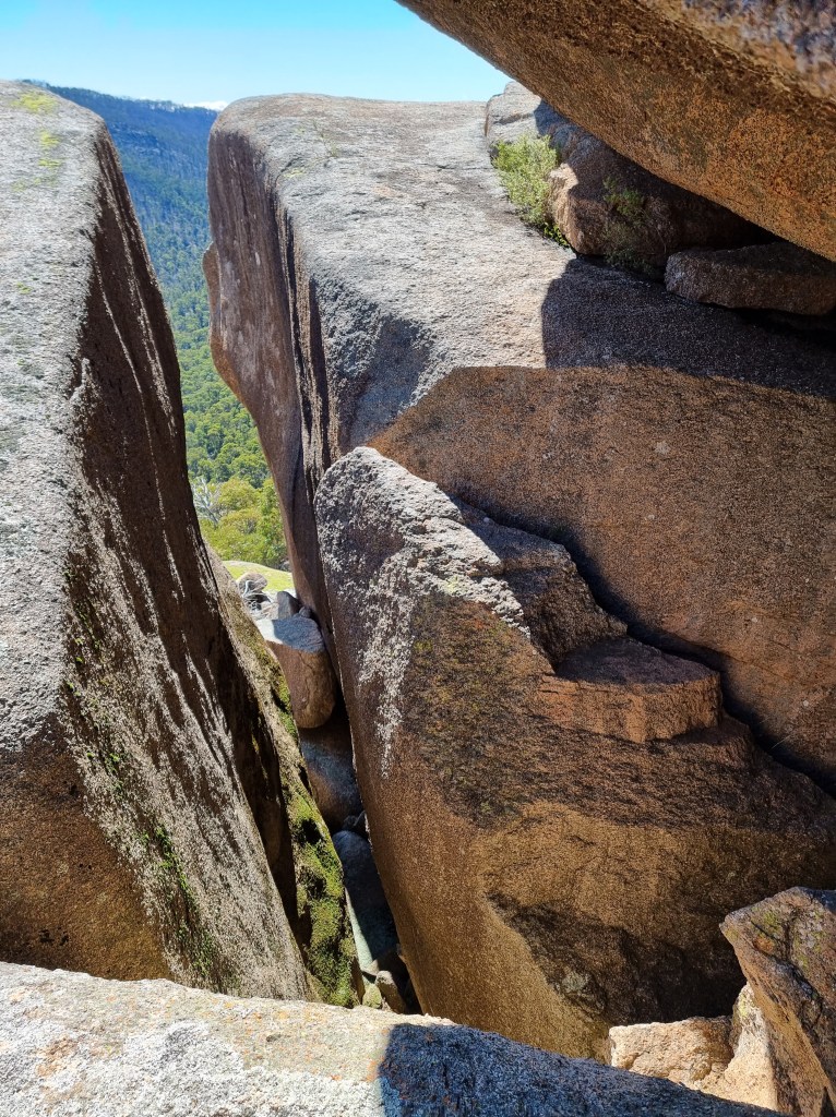
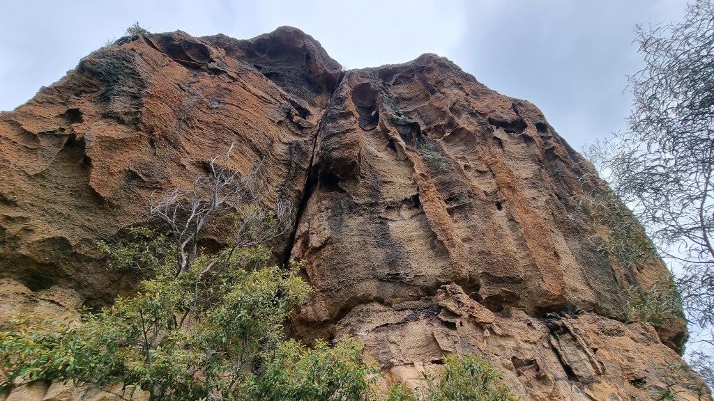
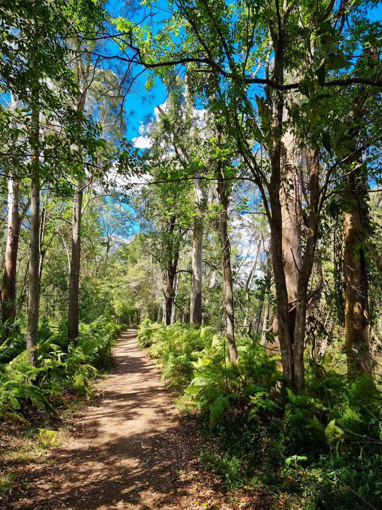
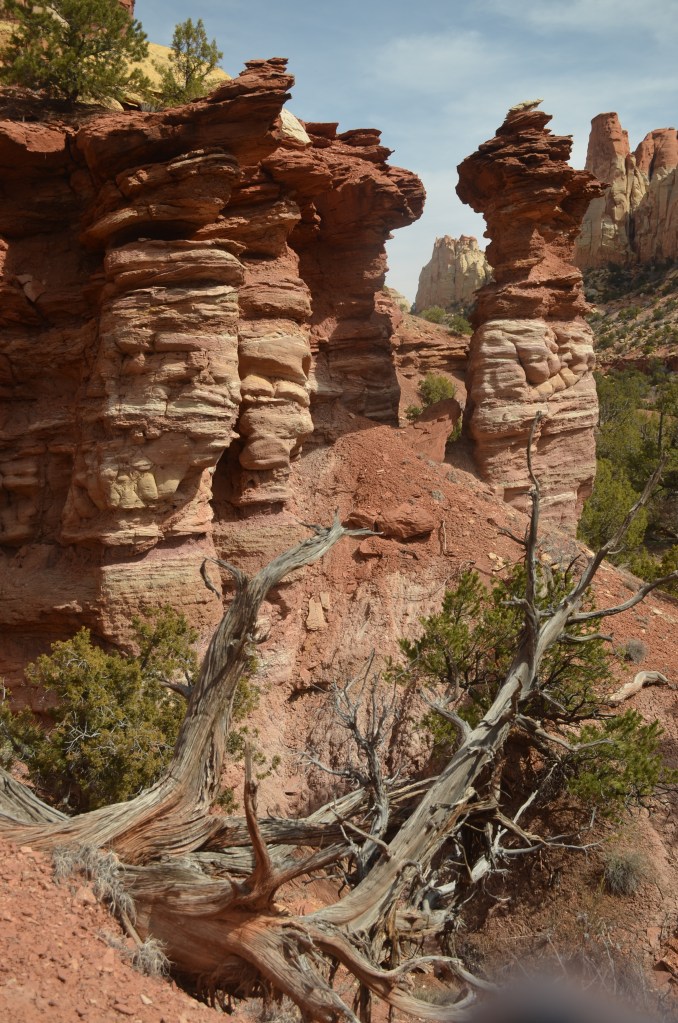
From the carpark it’s a 10-15 minute walk to the rocks and you’ll invariably see a dog or two as this is an off-the-leash area. The southern headland is worthy of a snap or two in its own right and finding a small patch of pig face (where did it get that name?) for the foreground adds to the images, but it’s the other side and its latite columns that are the magnet.

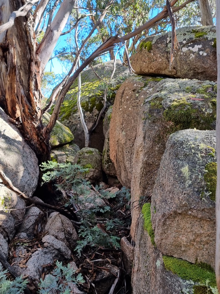
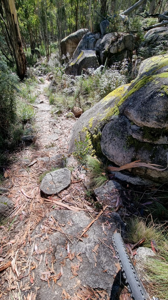
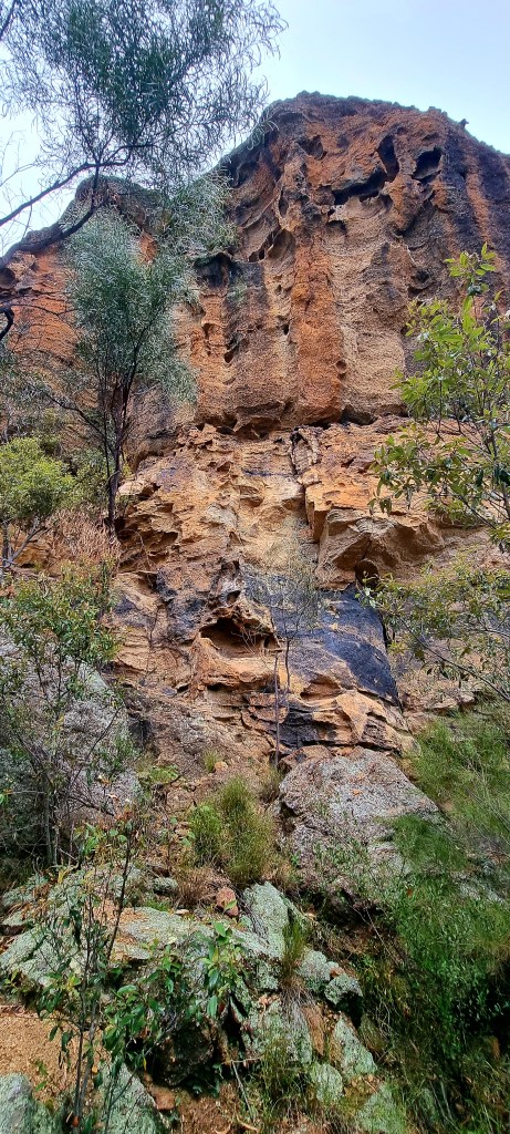
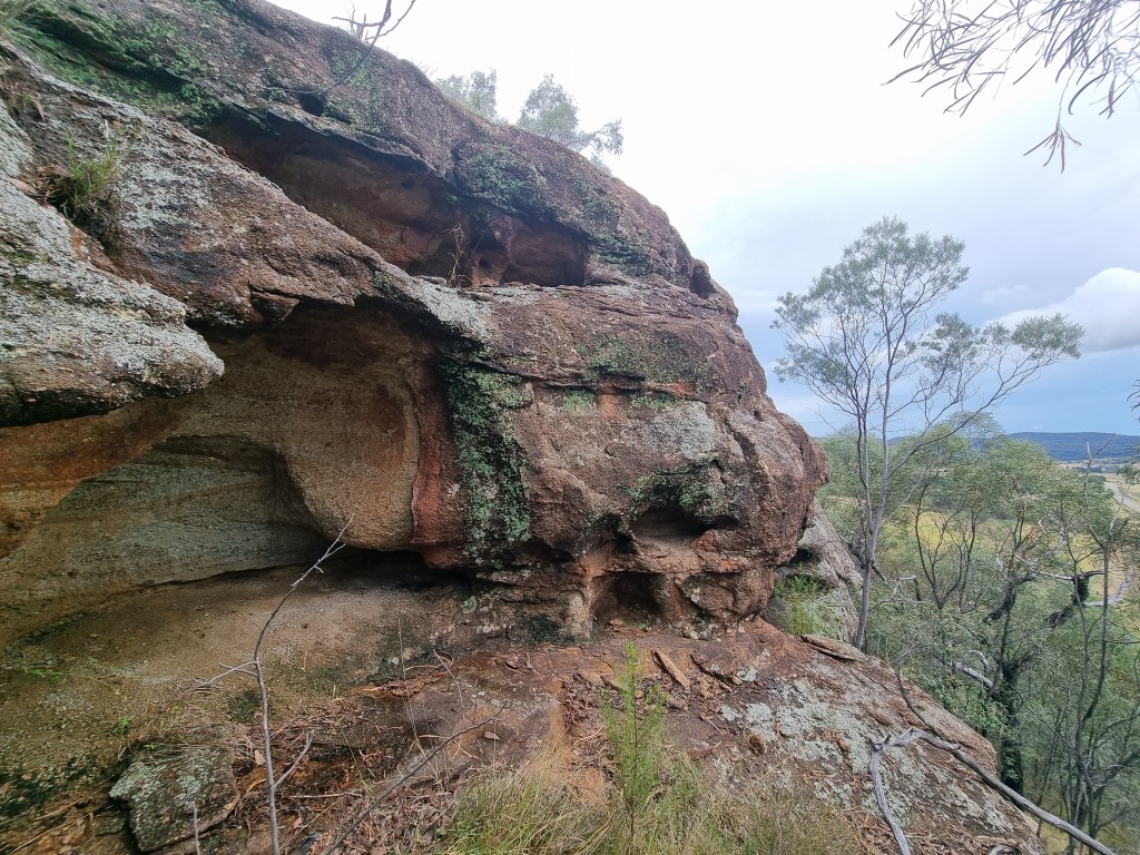
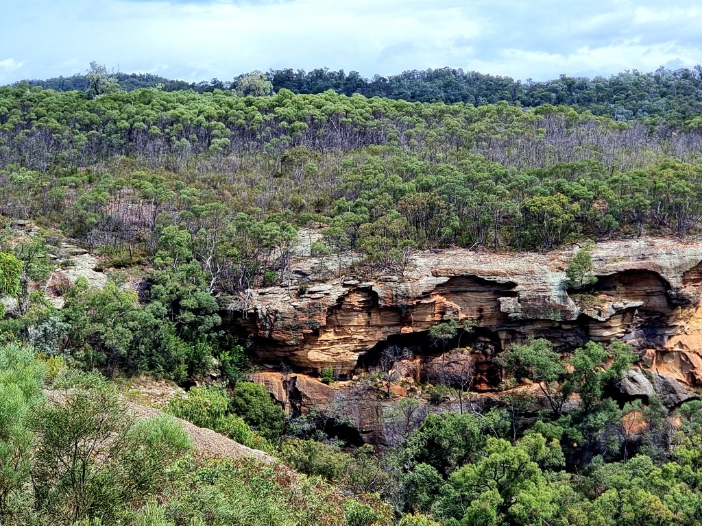
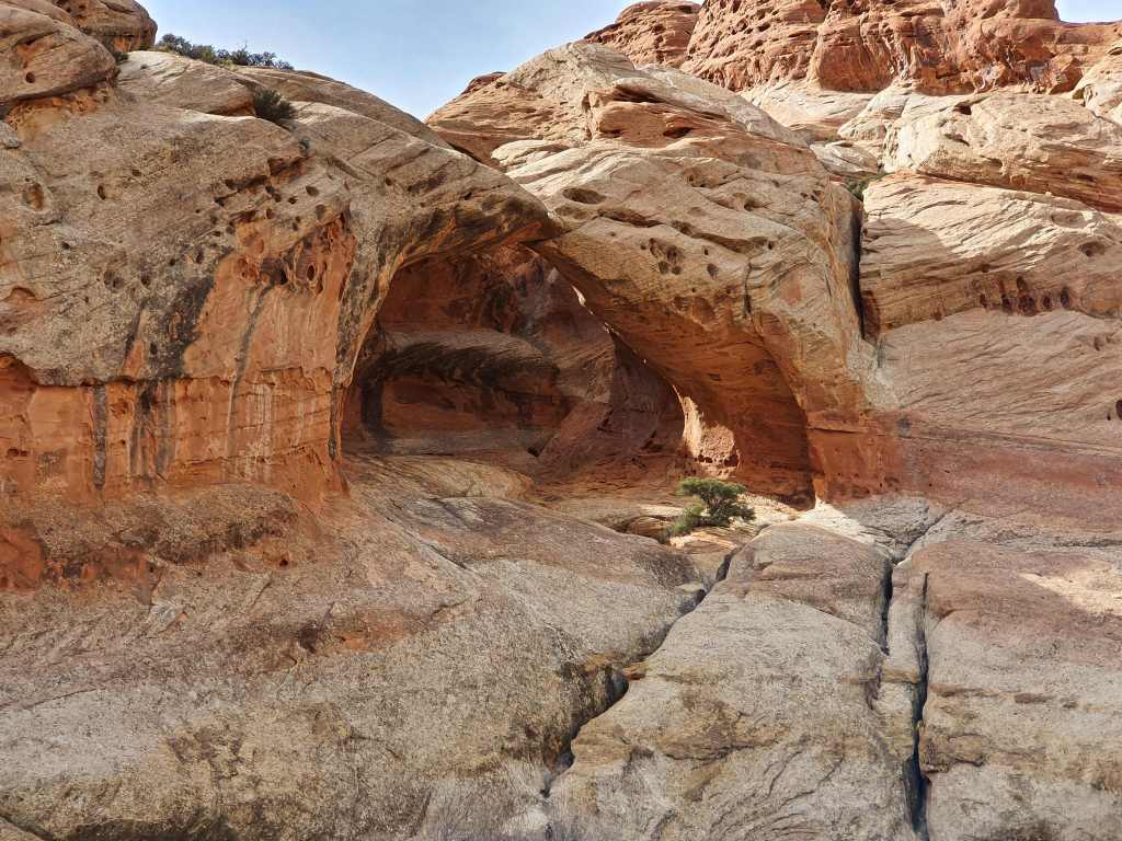
Heading off down the road that leads to a treatment works is something I’d not done before but it becomes a dead end except there’s a thin trail through the bush where others have gone before and soon I’m making progress through the scrub and it leads to where the porphyritic basalt used to be quarried well over a century ago. It wasn’t until 1979 that the quarry was proposed for heritage listing by the Geological Society of Australia. Confirmed in 1983, the public can now view this extraordinary landscape at their leisure, though entry at the northern extremity via a stairway is still to be finished, despite the passage of a significant amount of time.

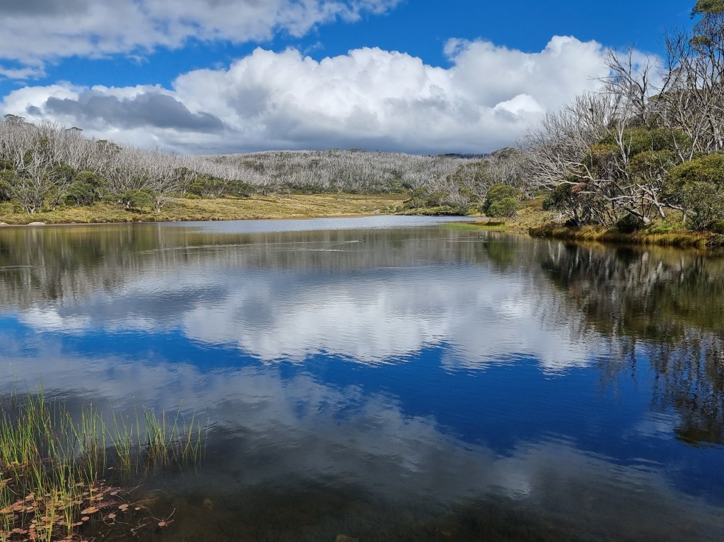
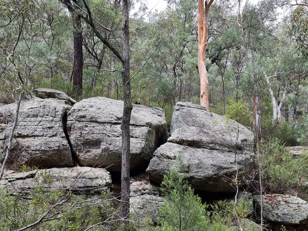
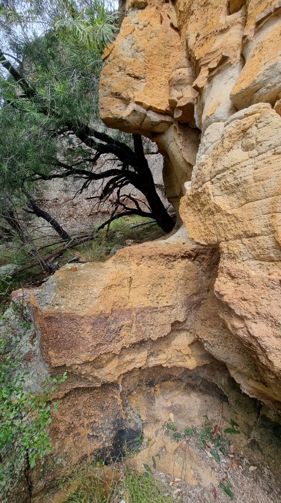
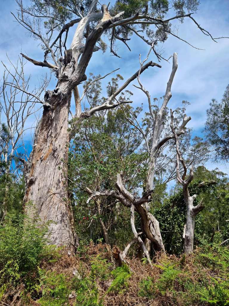
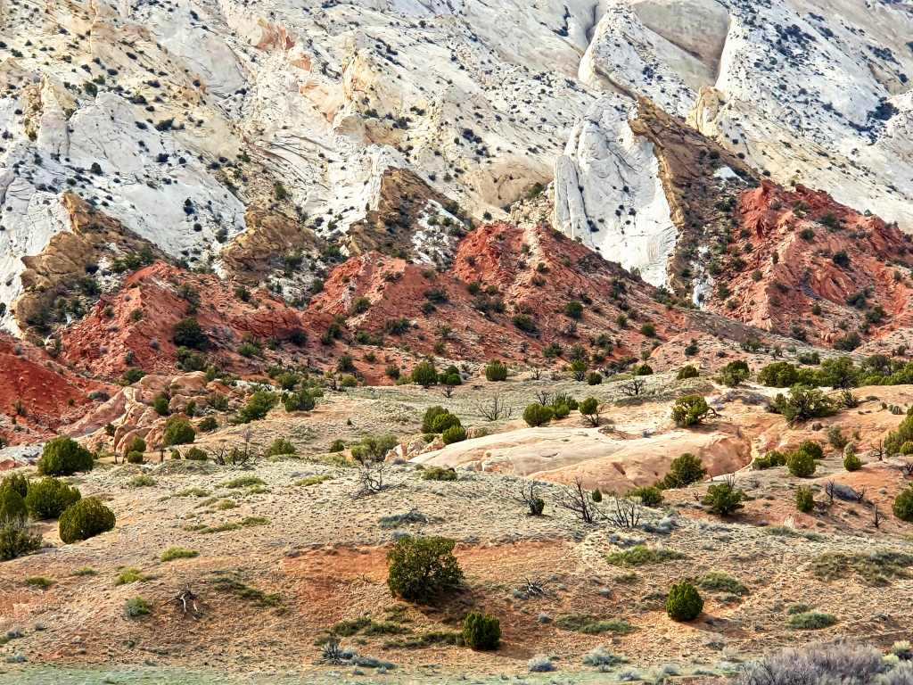
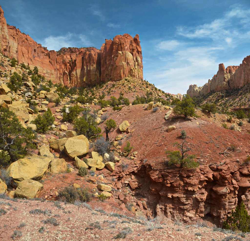
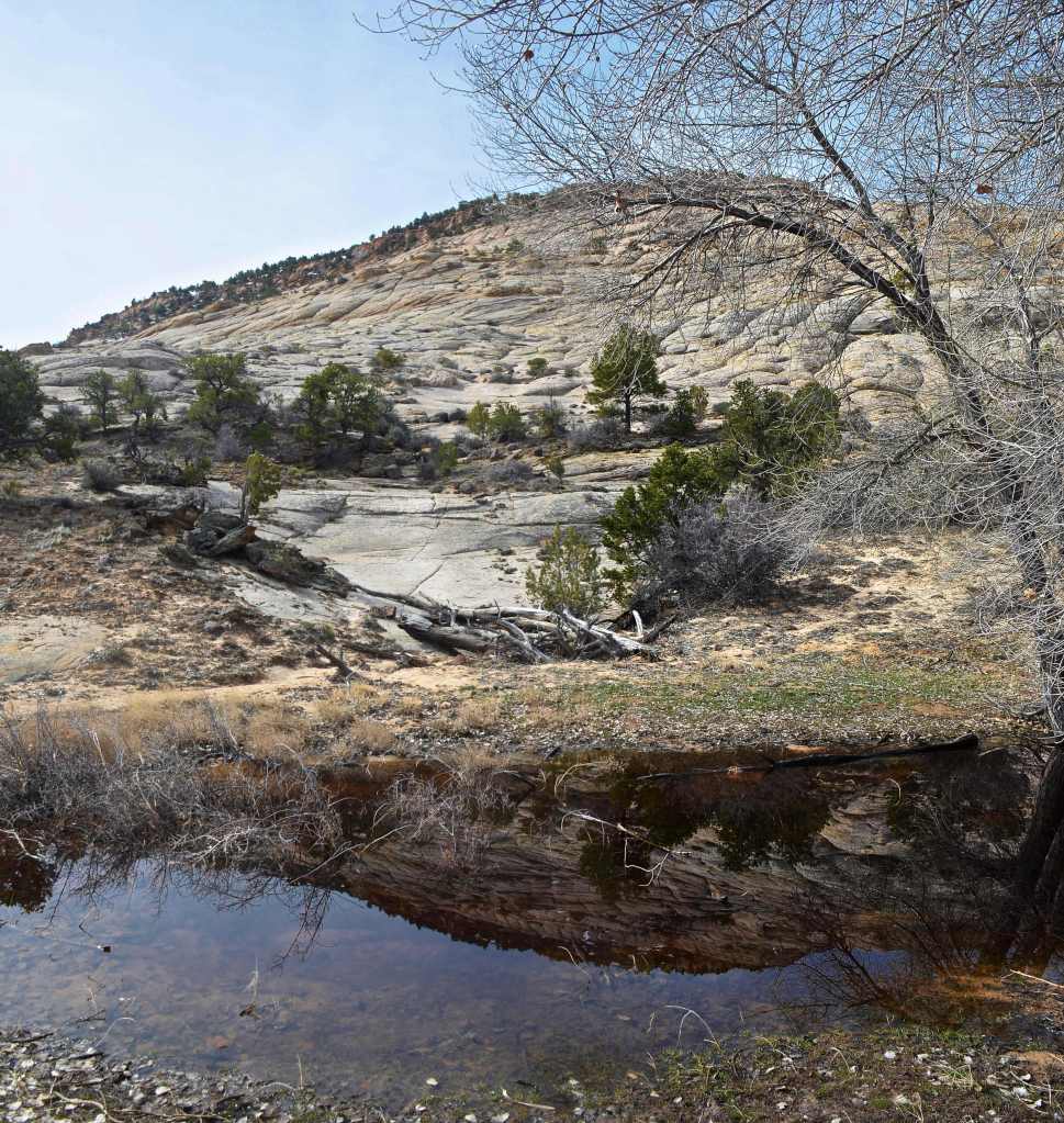
Meanwhile, I’ve reached what used to be one of the quarry roads and affords a different take on the whole area. A more inland rural atmosphere pervades because the ocean isn’t dominant here. Vegetation clambers around some rock columns while others are reflected in a still pond.
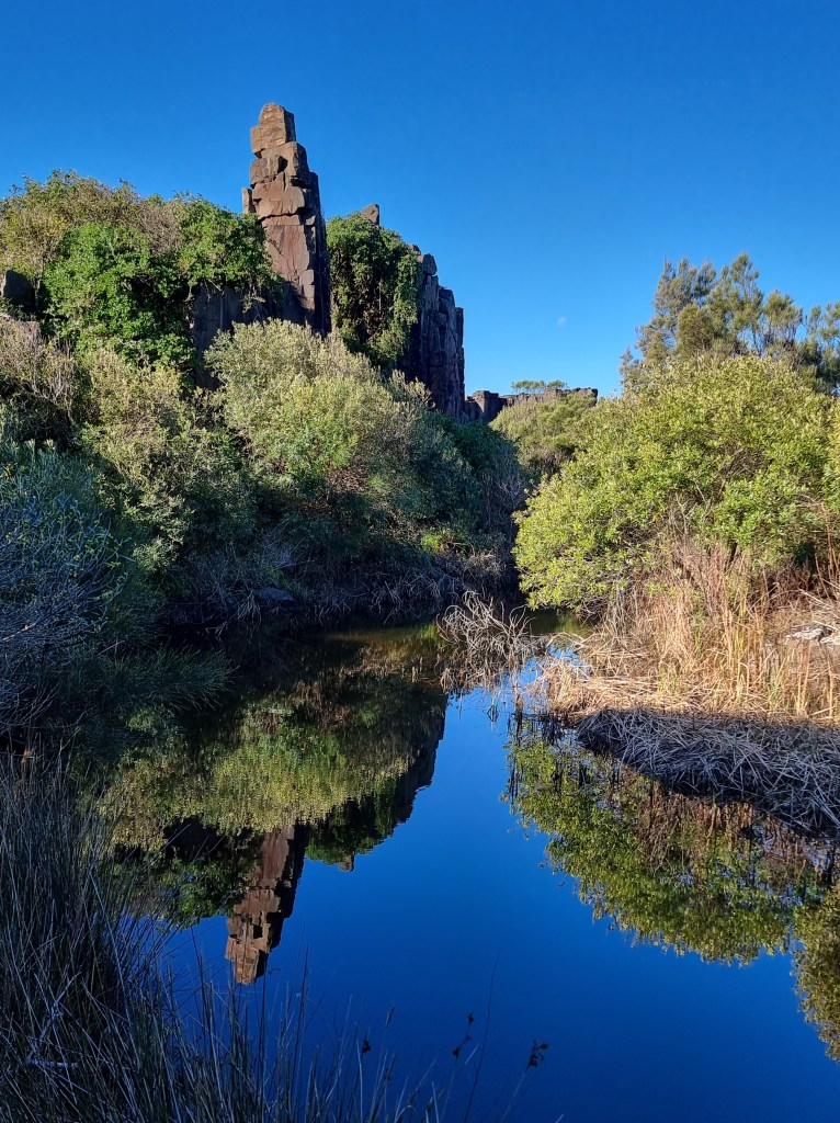
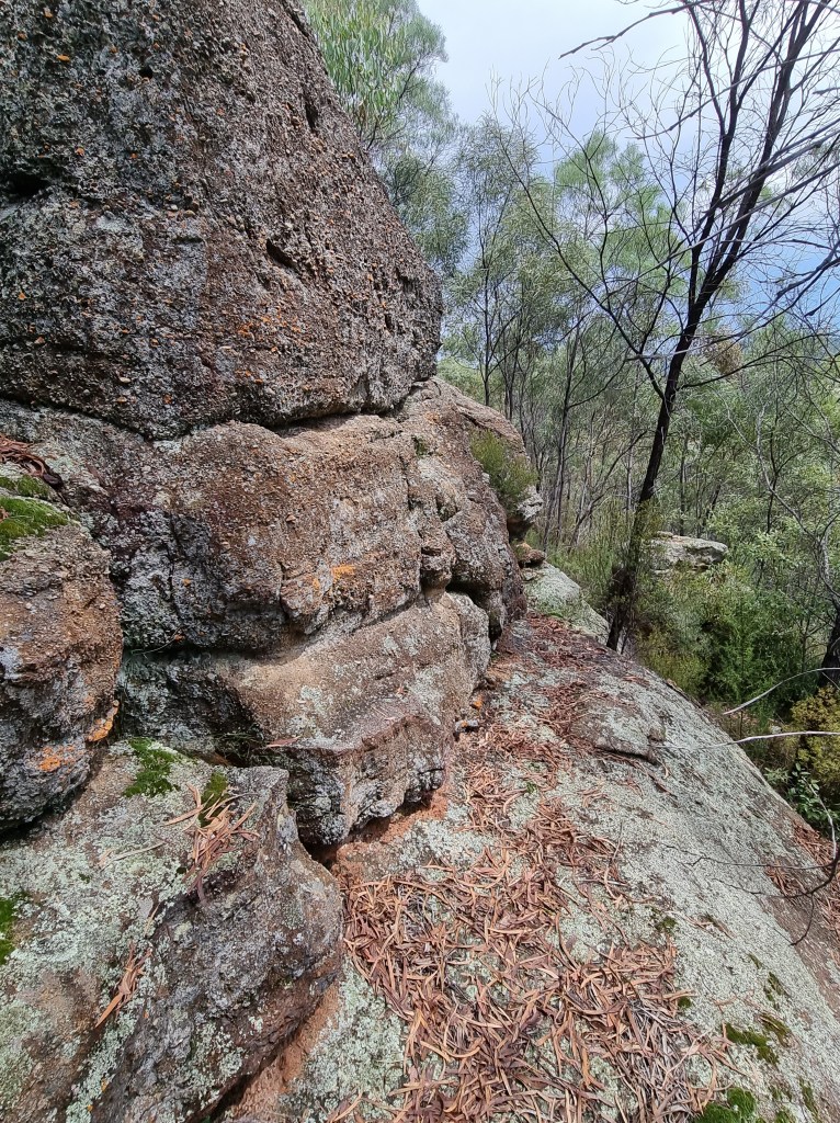
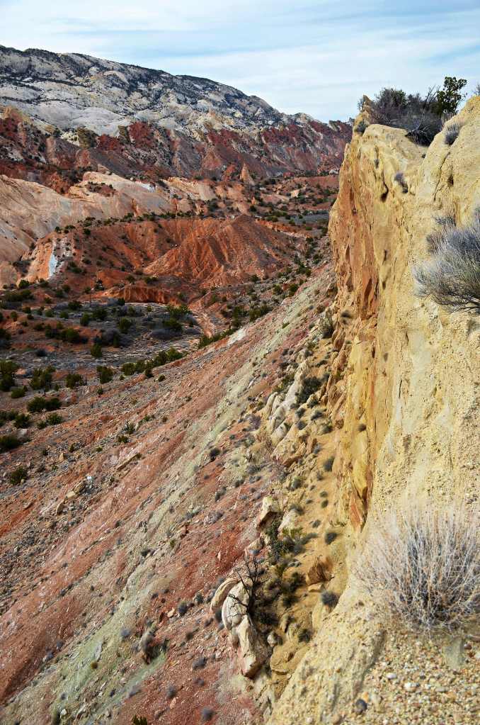
Yet the restless sea is never that far away and, moving on to the flat section behind the column barrier, it’s audible again, very audible, for, beyond those basalt ramparts lies the most extraordinary wash.

It rises and falls with the unpredictability of rolling dice. A swell that has risen up a steep slope at the southern side now plummets headlong back into an oncoming wave that is suddenly and simultaneously hit by a wash off the northern columns and they all head onto a forceful backwash from the previous incursion. The sea rises, dramatically, uncertain of where to go. It peaks then flops and then subsides into the maelstrom of rollicking foamy waters. It’s a dead end of ocean that wants to go somewhere but cannot make up its mind and is constantly intruded upon from unpredictable masses of water.

At times it smashes into the columns and rockets skywards before casting the foam beyond the basalt barricade which serves to create ephemeral waterfalls off the high points. That this wonderland of spectacle attracts few visitors is a surprise, for it is surely deserving of a much greater audience. I spend two hours poking around, ever awestruck when a large lineup literally roars into the enclave. Anticipation of what is about to happen and never disappoints is omnipresent, sending adrenalin rushes constantly through one’s body.

Bombo Rocks is a natural phenomenon adjusted by the hand of man and the remnants eventually saved by man as well. These days it’s used by television companies for advertisements and a drone photographer has his work on display at the tourist office near the blowhole. Still, the tourist numbers are outdone by the dog walkers though they seldom, if ever, venture as far as the cauldron. It’s a rugged treasure that will remain for a long time, don’t miss it.